More media archaeology: MapInfo MapXpress 2.0 (1996) and MapInfo Pro (1996)
Success, or at least progress! Fun things learned in the last couple of days:
- M1 Macs can’t run Windows emulators in VirtualBox, but Linux remains super easy (once again, ran this on Ramsey’s device)—something here about the race for advancing chips and losing pathways to understand computing’s past, don’t love it!
- M1 Macs can mount and run Windows in DOSBox-x, but I couldn’t mount CD-ROMs within that emulator because it can only have one disk image mounted at a time so I can’t install the MapInfo CD-ROMs within DOSBox-x
- There are Windows95 emulators in the browser, which can mount CD-ROMs but don’t exactly love a 450 MB CD-ROM so I could run MapXpress but not MapInfo Pro.
Which means I’ve gotten to actually run the software for the first time! Very exciting.
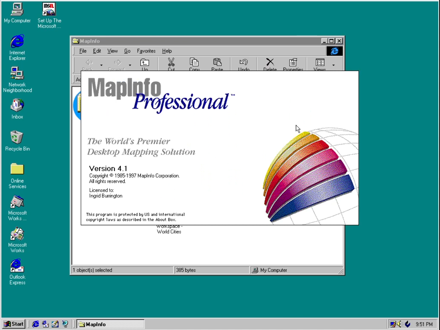
MapXpress 2.0
Having spent some time poking around in the disk image of this CD-ROM last week, I was excited to see how the application actually looked. Check out the sweet 3D graphics!!
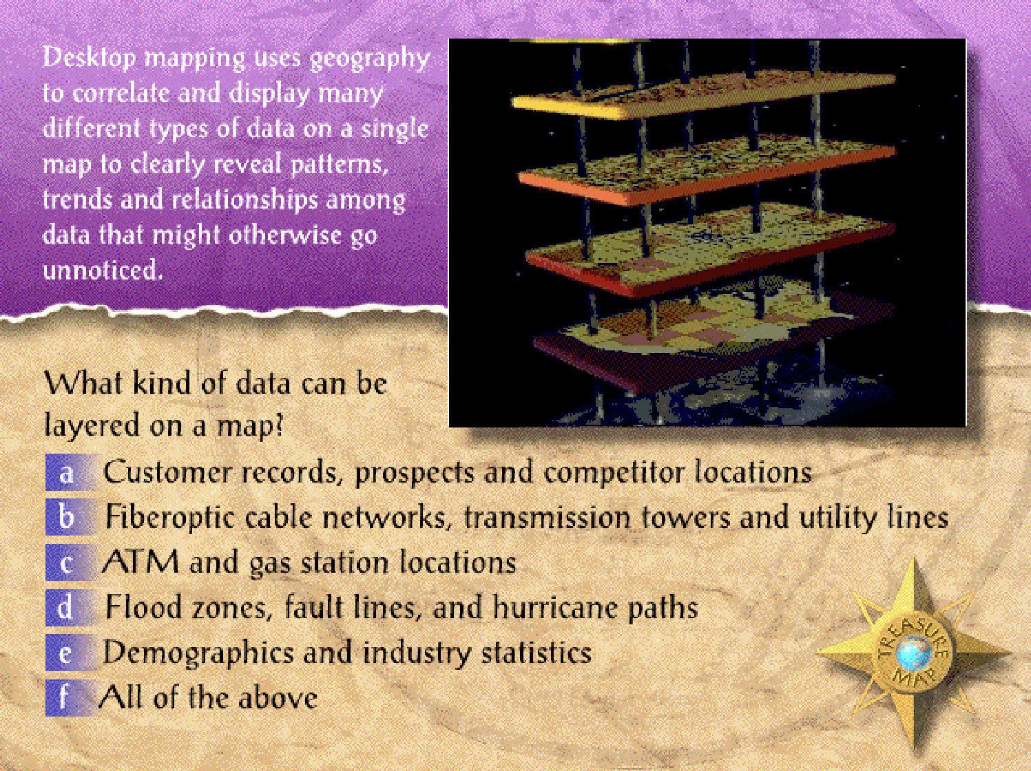
I guess I could load this application, but…what’s this? A map adventure? Don’t mind if I do!
What follows in this section is what to me reads as a very Sierra Online-style adventure game coded “interactive experience”, perusing a treasure map to walk through concepts of geospatial software, different use cases for maps, and how to read and interpret maps. I am so sorry that the screen recording of this didn’t capture the full voiceover audio reading this text out loud (they hired an actor for this, amazing). But, gentle reader, you are certainly welcome to grab the disk image I uploaded to the Internet Archive and run this in a Windows 95 emulator yourself. (If you do decide to do that, spoilers below!!)
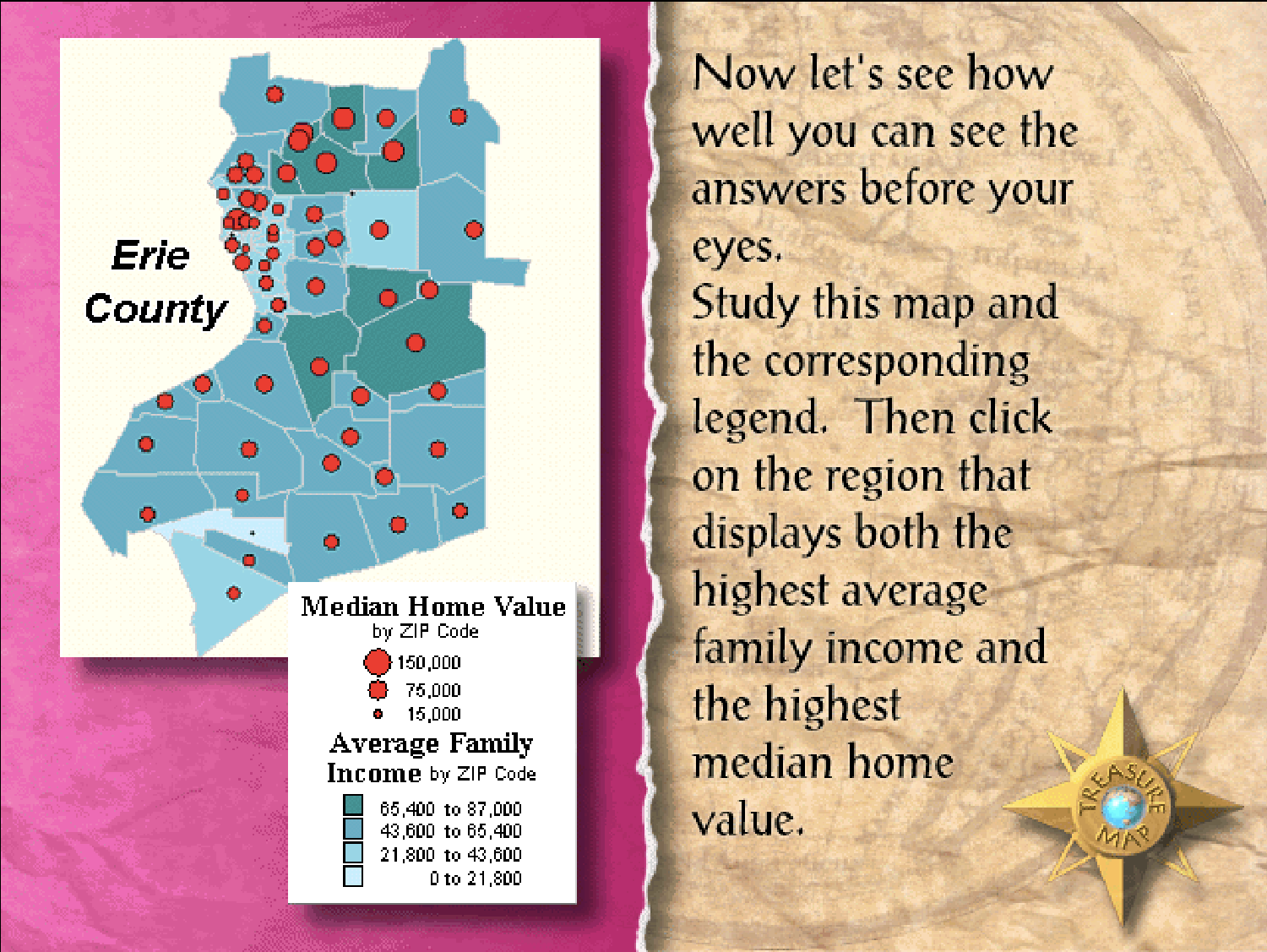
Once you’ve demonstrated your understanding, you get to the treasure chest and…
You get a free screensaver as a little easter egg! (The screensaver is just the treasure map interface.)
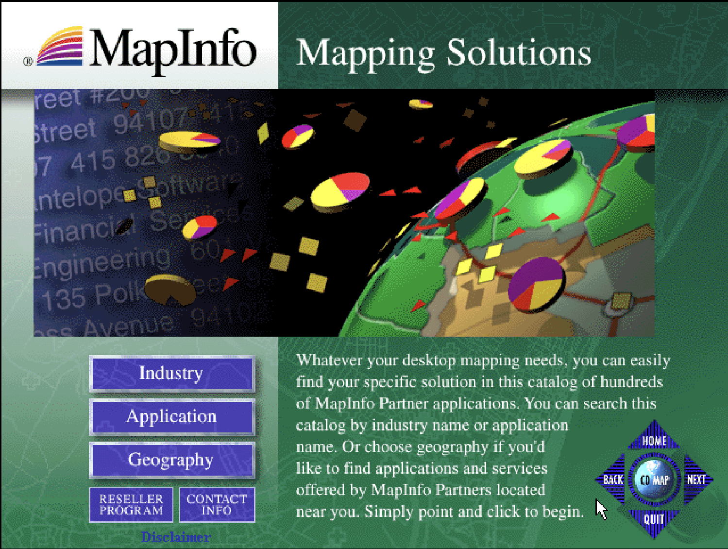
The rest of the application is a little more of a straight-laced experience with some of those sweet graphics seen on the CD-ROM packaging:
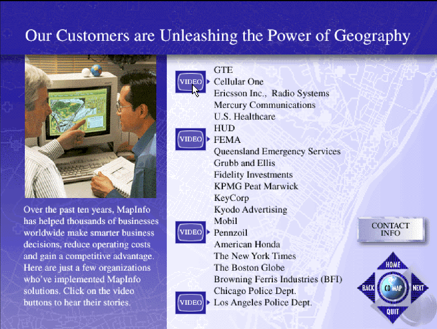
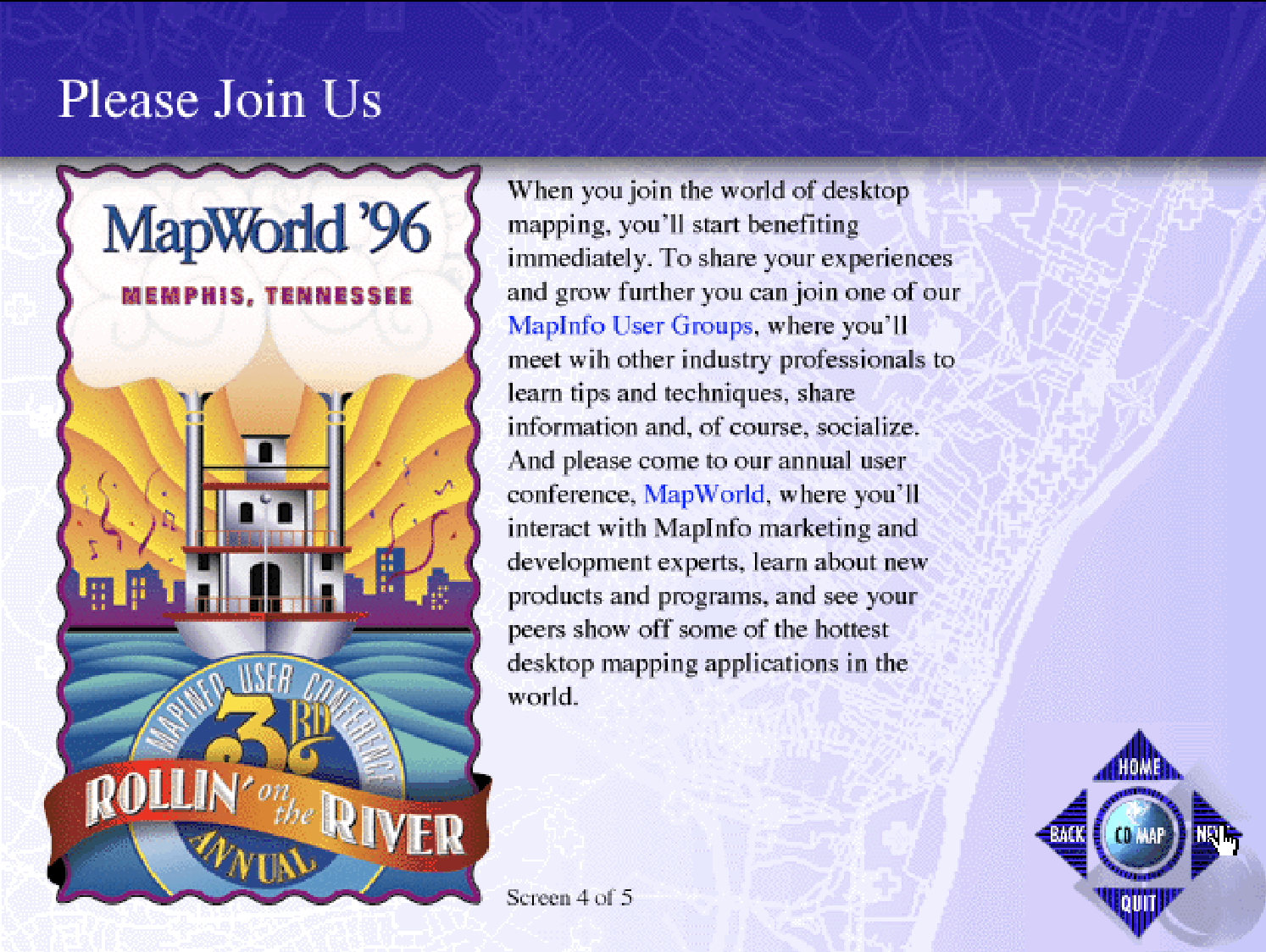
It was nice to see how the video and text files I’d been rummaging through were used in the application and to see things like these images of actual MapInfo staff at their jobs. Also, MapInfo had an annual user group meeting? I don’t think this is something they ripped off from Esri, who had been doing an annual user conference since 1981, because Esri didn’t come up with the idea of user groups—they date back to like microcomputers and the MapInfo founders’ computer science background had probably introduced them to the idea before that.

I also learned that MapXpress was not made in-house but by a contractor studio in Troy, presumably one that specialized in Adobe Director-type products:

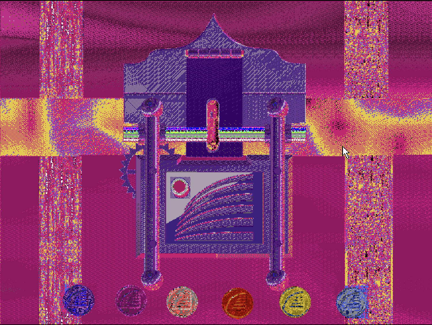
Also, for fun: sometimes the browser emulator would get a little janky and glitch out, producing wild inverted color palettes:
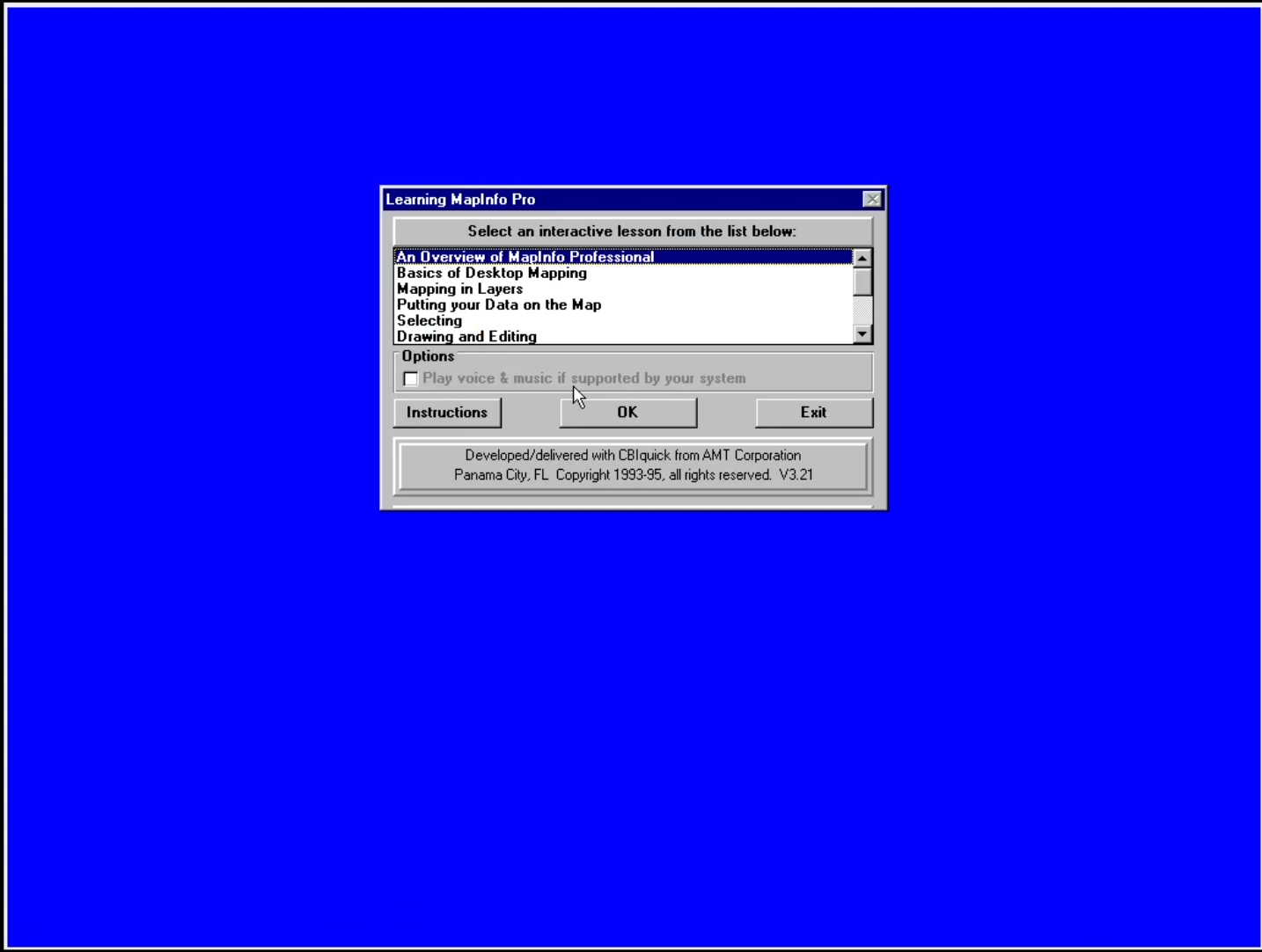
MapInfoPro
Once we installed MapInfo Pro into the Windows 95 VM, we were shown a bunch of alias applications labeled as “workspaces” for specific locales, and a tutorial application:
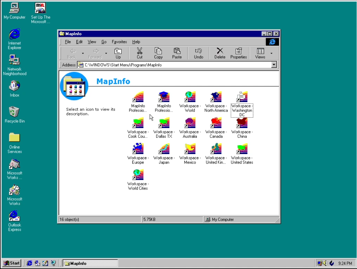
Data packaged with geospatial software was a new one for me—I imagine part of this was because this is from 1996 and the sharing of geospatial data is not only not yet a cultural norm, it’s also just not especially easy to do. How many people were running FTP servers for geo data at that point, really? I do wonder what the arrangements were to get some of these datasets. The pre-packaged workspaces also speaks to this notion I’d been wondering about while reading coverage of MapInfo, which is that it’s trying to make this work a reasonably straightforward, works right out of the box experience. The tutorial application has a bunch of different little modules, probably because this had to introduce people to the basic idea of “doing geospatial on the computer.”
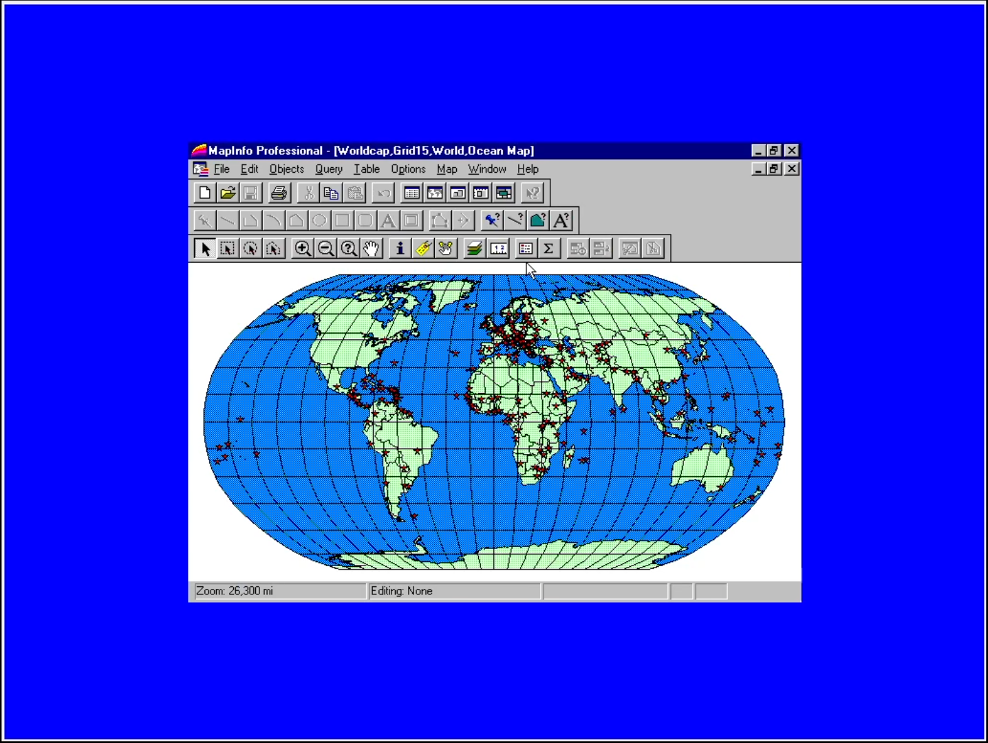
It also does something I haven’t seen in ages in an application, which is take control of the mouse and click through various steps for the user. The actual MapInfo Pro interface will look pretty familiar to modern GIS users—which is notable, as mentioned before, because MapInfo predates Esri’s entry into GUI GIS software, so probably the way this actually should be explained is that ArcGIS and QGIS today look a lot like MapInfo’s interface, not the other way around.
The “geocoding” tutorial was eye-opening insofar as it made a lot clearer what MapInfo’s theory of geocoding actually worked. Rather than having some planet-sized reference gazetteer that served all general purpose geocoding, they geocoded points against reference files. This feels more akin to just doing a table join or something.

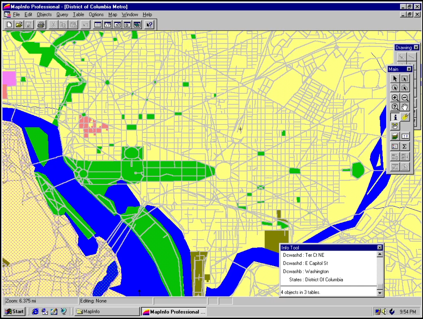
A feature of the MapInfo layer management I definitely don’t recall from my earlier QGIS experiences (not sure about Esri produces) but that I’m sort of obsessed with: it had dynamic layer visibility based on zoom. Like when I opened the Washington, DC “workspace”, it looked like it was just flat boundaries, but there were definitely other layers listed in the map…
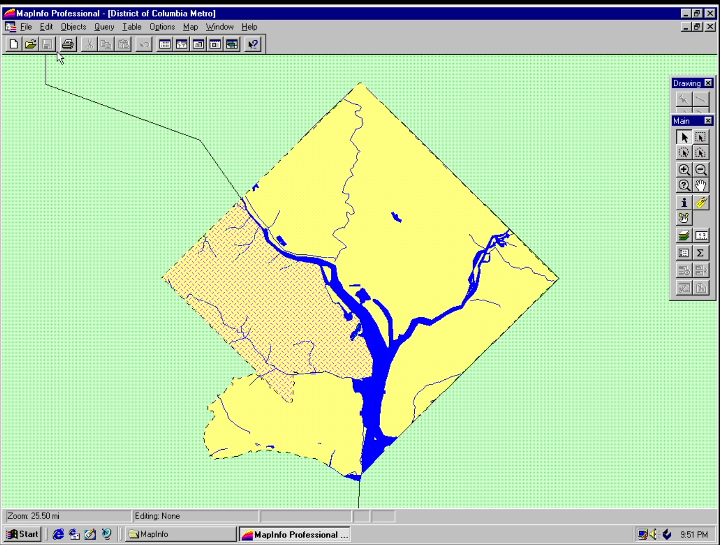
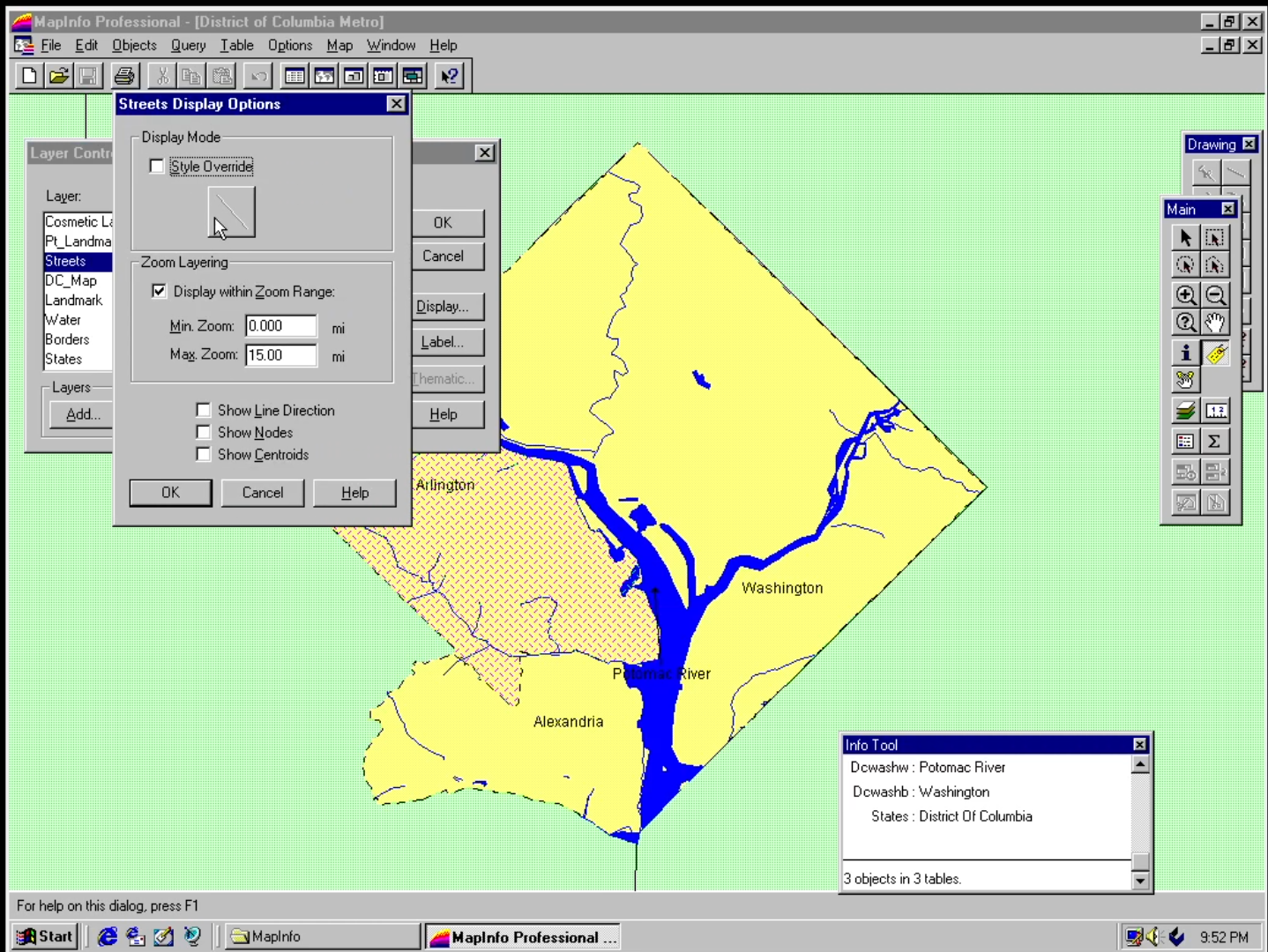
And behold! A zoomed-in map shows the streets! And a georeferenced old-timey print map of DC that’s been rasterized!
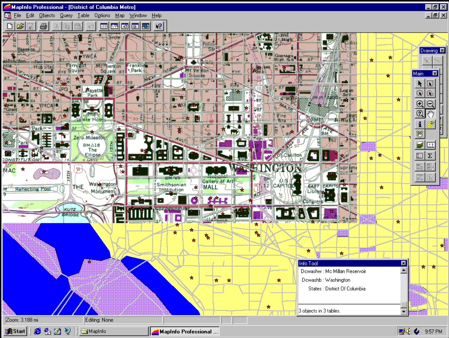
I don’t totally understand how MapInfo defines “Zoom Range” here—0-15 miles per pixel? Per something else? In a very not-GIS-y move, there’s not a scale ratio visible onscreen for reference. Edit: thanks to Nyall for explaining that MapInfo used “distance from the surface of the earth” as their mechanism for scale measurement. As a detail of the software design that’s a really interesting example to me of the difference between map software made by people coming from print cartography (where scale is defined by like “1 cm = x number of meters”) and software made by people coming from CS.
Another not-GIS-y detail: coordinate reference systems don’t seem super-important to MapInfo, though it also doesn’t seem like every dataset is using the same one. It’s definitely a thing according to the paper user guides, but not really highlighted in getting to know the software. There’s also aesthetic stuff that just isn’t possible with the maps, like opacity control just wasn’t a thing computer graphics could do at that point. Also, of course: way fewer fonts, which meant doing a minor design crime while messing around with the software:
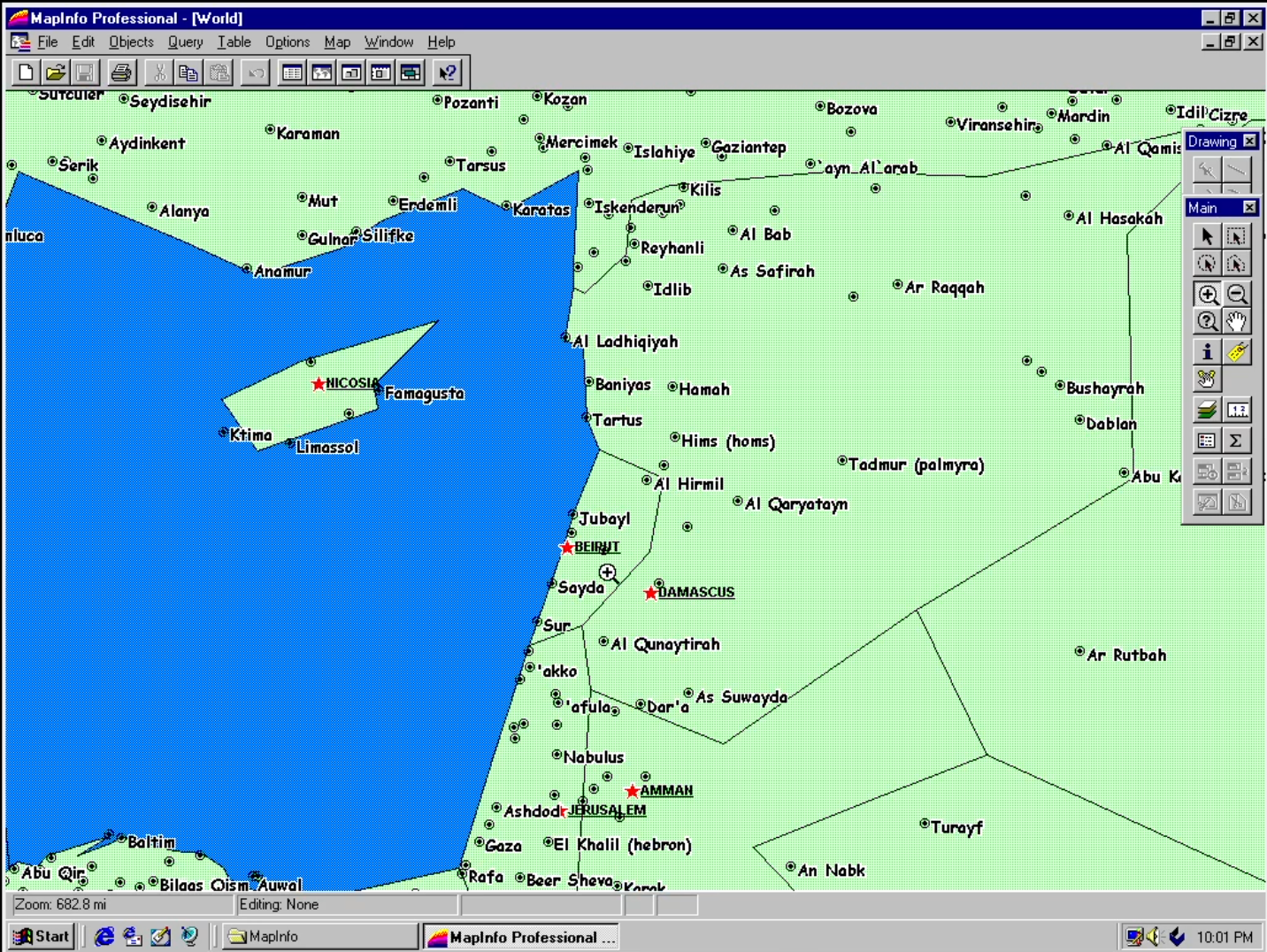
Incidentally: yeah, the world map isn’t really scaled for zooming in.
Onward
After my first MapInfo post I had some people reach out with anecdotes about their experiences with the software back in the day, with one person saying that it was actually the software on which they learned GIS rather than ArcView or ARC/INFO. This was partly because they started doing work with geospatial data as part of their job at a nonprofit and MapInfo was simply cheaper software, but it was also seen as easier to use. I can kind of see that, based on some super-preliminary poking around the software and following the tutorials.
I’ve revived my very busted 2018 MacBook to begin the tedious process of setting up for a Windows 95 virtual machine on it (it involves also installing DOS, very cool) so that I don’t have to borrow Ramsey’s laptop to play around with the software. (It honestly might be easier to just get a shitty ThinkPad, set up Linux and VirtualBox, and set up Windows on that though—also dealing with a retina screen on the Mac which adds annoyances).
One thing I really want to try is importing geospatial data beyond MapInfo’s demo datasets—while this version of MapInfo Pro doesn’t take shapefiles (because they didn’t exist yet), it does take DBF files which are an integral component of shapefiles.