Media archaeology with MapInfo’s MapXpress 2.0 (1996)
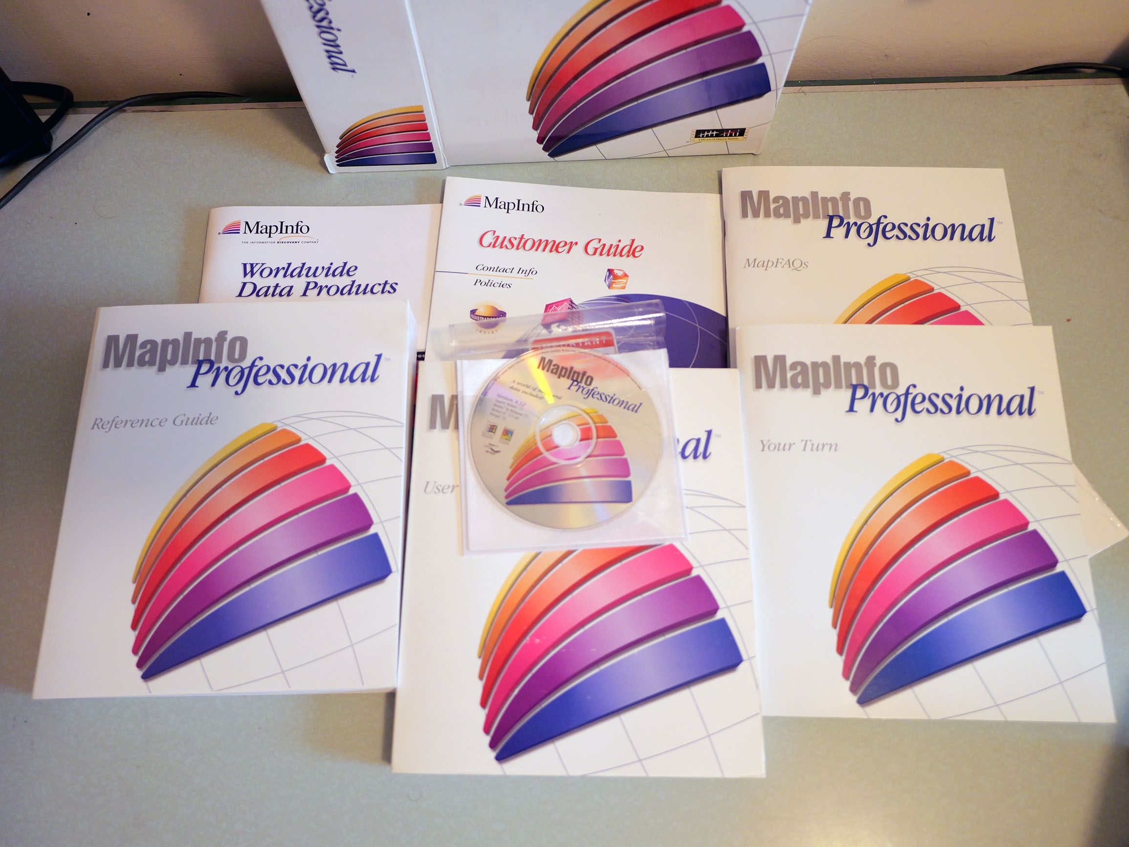
I found a full set of the 1996 version of MapInfo Professional on eBay recently and shelled out a somewhat stupid amount of money for it on the gamble I could get it running. Turns out bleeding-edge Windows 95 isn’t as backwards-compatible with contemporary Microsoft products so I’ll have to go down the emulator rabbit hole, but even if I don’t get the software to run I already think this was a net positive purchase because of all of the extra ephemera that came with it. Consider this part one of a series as I’ll probably need to keep going through all this stuff.
For this post I’m going to mainly share some media from a little marketing CD-ROM that came with MapInfo Pro called MapXpress 2.0, which supposedly features a “complete catalog of worldwide mapping solutions”!
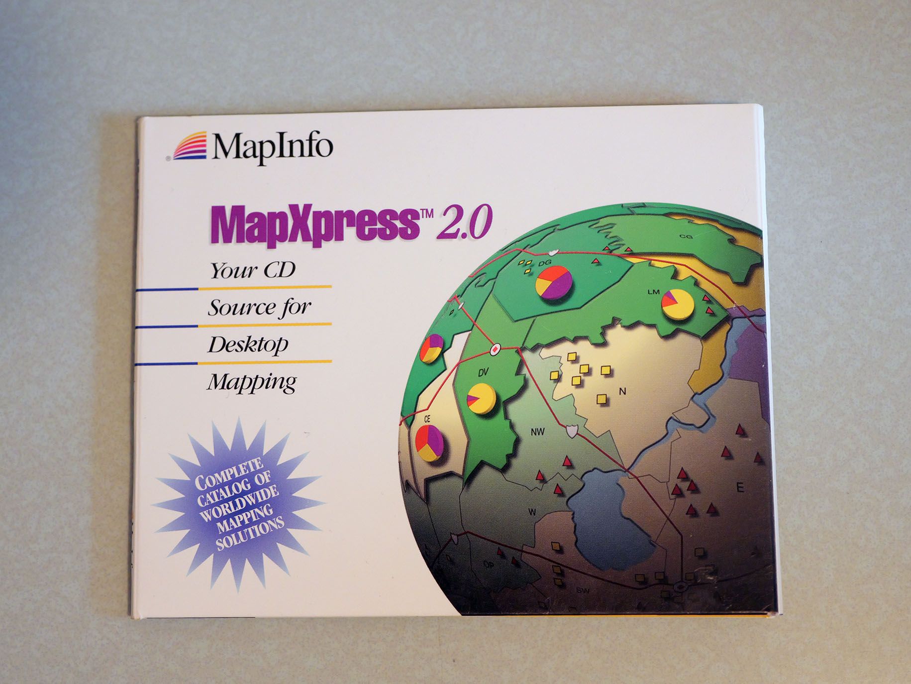
This CD-ROM also did not run (LOL), but the disk image did offer up a few fun artifacts that helped me get a better picture of MapInfo’s industry positioning and overall vibe.
Backing up: what was MapInfo, seriously
MapInfo is a company and product that I feel like I should have known about this whole time and it’s weird that it rarely comes up in GIS and geo software discourse and literature, even in its heyday. Although the company incorporated 17 years after Jack Dangermond drove a bunch of Harvard-made software to Redlands to start Esri, MapInfo had a PC desktop map-interface-based application before Esri. The earliest article or review of MapInfo’s software that I could find is from BYTE in 1989. ArcView 1.0 is released in 1991. (One former Esri source I’ve spoken to indicated that ArcView basically got built in response to MapInfo, which tracks timelines-wise.)
Based on other reviews and articles I could find from the 1990s, in at least some circles MapInfo was considered the superior or at least more user-friendly product in the then-competitive desktop mapping space. MapInfo also is the only GIS company to go public in the 1990s, and seemingly does OK as a publicly traded company for a while before being acquired by Pitney Bowes (which is one of those companies like SAP where it’s weirdly hard for idiots such as myself to understand what they do, like it’s the companies version of my physical inability to remember the definition of the word “ontology”).
MapInfo is actually still a going concern, now under the umbrella of Precisely. Precisely seems to be a profane Voltron acquisition-event type company, made up of a bunch of old-ish niche computer companies you’ve never heard of that got blended together using capital from big banks that wanted to make some kind of Big Data play (you know, back when that was a term people used) and then given an aughts-era rebrand meant to make it sound like a startup run by floppy-haired millennials in 2013. But I digress. The point is I kind of get why nobody talks about MapInfo now—it’s ensconced in this Precisely Voltron setup—but it’s weird to me that it also wasn’t really talked that much about by academic geographers in the way back.
One possible reason for this is it doesn’t seem like MapInfo courted the education market super hard—I found a press release from like 2002 about them doing some education-y stuff, but that’s about it. And maybe they just recognized academia wasn’t going to be their niche. Trade journal-y sources I found from the 1990s suggested that at that time Esri had already pretty well cornered a lot of the academic and government market, while MapInfo and other vendors like Strategic Mapping Inc. (eventually bought by Claritas, then by Esri) were more popular in business settings. One hypothesis here with the obviously huge caveat of I still haven’t gotten to try the software: MapInfo seemed to be popular in fields where maps are an important tool but not the important tool. Where Esri kind of invents the profession of “GIS specialist”, 1990s MapInfo Pro has the vibe of being a product trying to integrate with existing corporate workflows.
I think there’s some evidence for this in the interoperability that MapInfo incorporated into the product: the packaging for MapInfo Pro touts that it’s Microsoft Office compatible and other publications indicate it did integrations with Lotus 1-2-3 and WordPerfect (RIP). Where Esri focused on building up a user community of power users with geospatial expertise, MapInfo was trying to fit within the workflows people were already using.
Based on some of the media on the MapXpress CD-ROM, it seems like MapInfo’s product wasn’t being sold to ”professional maps people” so much as to people with all sorts of jobs in fields that might, incidentally, benefit from maps. In particular, it’s worth looking at the testimonials from MapInfo users.
The fun stuff: 90s marketing videos
MapXpress 2.0 basically is an interactive guide to MapInfo and their various products. It was built using Adobe Director, so the disk image has a bunch of .DLL files that I can’t read (the rabbit hole for Shockwave emulators is much more annoying than Windows 95 so far) and a bunch of image, text, and video assets.
And the videos are pretty great. The file PCOPEN.avi, I am guessing, would load when a user launched the CD-ROM, and boy does it set a scene:
Questions I have from this video: why does everyone work in the dark at this company? Why did they shoot this at night? I don’t fully understand the vibe they’re going for.
Another random good video: this 3D animation about the power of layering maps? I am pretty sure that MapInfo’s software doesn’t look like this.
There’s also a bunch of business testimonial videos in an AVI folder that give a sense of the markets MapInfo specialized in. Here’s a guy from the LAPD talking about great it is!
(Edit with fun fact learned after posting: Thanks to John for pointing out that “Mike Moore” could actually be Michel Moore, who was LAPD Chief from 2018 to 2024. The hairline and jaw match, but the video quality isn’t amazing so I don’t want to say definitively that’s him without a little more verification, but if so what a wild detail!)
The development of crime mapping and computation-driven policing via commercial off-the-shelf software is a niche interest of mine and I forgot that I actually name-checked MapInfo as the NYPD’s software of choice when I wrote about this stuff in 2018. I’ve looked a little bit for other articles and media that could give me a sense of whether cops had a strong preference between MapInfo and ArcView; this quote from a 2000 article in the Police Foundation (now National Policing Institute) “Crime Mapping News” quarterly by Cambridge Police crime analyst Chris Bruce offers this:
Tactical crime mapping, like tactical crime analysis, can be a down and dirty process. The annals of etiquette in crime mapping go out the window. When you’re trying to quickly find or display a crime pattern, elements like scale bars, legends, layout windows, tables imported from your RMS, and other frilly GIS features take more time than they’re worth. It’s a thirty second process: CTRL-F a dozen locations on the street layer, choose a symbol, zoom in, and maybe drop some text, circles, lines or arrows on the cosmetic layer to highlight certain features. Then copy the entire mess to the clipboard and paste it into your word processing application. Sure, it’s only a few degrees removed from paper maps and push pins, but it gets the job done fast. (Incidentally, for this type of “down and dirty” crime mapping, we find MapInfo to be a more user-friendly, adaptable application than ArcView, though we own and use both applications.)
I just want to take a moment to acknowledge that what Bruce calls “frilly GIS features” are in fact “basic standards of cartography”, but as a person who frequently skips QGIS entirely to do quick and dirty geospatial analysis in mapshaper or geopandas I get the point he’s making. (This also feels germane to Matthew Edney’s “ideal of cartography” argument about the field—“cartography” can teach us about what people think maps are supposed to be or do, but frills-free maps made on the fly might tell us more about how people actually use maps.)
Another fun video is this British guy saying that the software “sells itself”:
One that I found really exciting was this testimonial from a FEMA worker about MapInfo’s use in recovery work during Hurricane Andrew:
There’s maybe an interesting thread here about disaster and emergency mapping and the tension between needing software that can be easily used by non-experts and needing to map things quickly with whoever is available to do the mapping.
Also: various product descriptions!
Another fun thing to go through on this CD-ROM is the pile of text files describing different geospatial data products and add-on softwares available for MapInfo. I’d found a 1994 “Applications Catalog” for the company separately on eBay before, which has similar offerings—various small vendors selling products with names like “The Insurance Connection” promising “The complete solution for insurance compliance of nondiscrimination” or geocoders or routing methods or New York State property data (which feels like something a random guy who is not affiliated with state government shouldn’t be able to sell?).
The idea of shipping mapping software with data (something MapInfo apparently did) or selling data in addition to software (also a thing MapInfo did) feels super foreign to my dumb millennial brain spoiled by open data portals and APIs, but part of me also finds it kind of appealing? In my experience, one of the hardest parts of teaching geospatial stuff is answering the question of “where do I find the data that helps me explore a research topic?” The youth don’t entirely know how to search, or what to search for in these situations. I don’t necessarily yearn for the days of excessive data gatekeeping but it would be nice to have someone else keeping the list of “places with geospatial datasets you, a researcher, might be into.”
For the third-party add-on applications I imagine these were built using MapBASIC, the programming language MapInfo created for this purpose. Its programmatic lineage is presumably obvious (it’s based on BASIC), but I don’t know if that was a reasonable choice on their part insofar as I know BASIC was popular but I don’t know if it was still super-popular in 1996 or whatever. Esri had a programming language for ArcView too, called Avenue, though it looks like it first became available after version 3.0. I’ve had less success finding information on the specs of Avenue beyond the fact it was “object oriented”, which I think was the new hotness of the 1990s? Esri had also created the ARC Macro Language back in 1986 for scripting applications for ARC/INFO, which was apparently based largely on the shell language of Prime minicomputers which itself was per Wikipedia similar to Pascal. I don’t know if MapInfo or Esri worked on those scripting languages explicitly trying to set up a third-party application ecosystem around their products or initially just as an internal tool that at some later point they decided to release. Either way, it feels like a canny product move as far as making a software product sort of indispensable and accessible to people who have specific map needs but aren’t necessarily map experts.
You get an .iso and you get an .iso
I put the disk image of MapXpress 2.0 on the Internet Archive, so if you either have the wherewithal to get an old Shockwave executable running or just want to dig further into the text files, please go to town and share what you find.